


 37
37Island Travel Course in Incheon | Escape into Nature on a Healing Journey to Deokjeokdo & Soyado


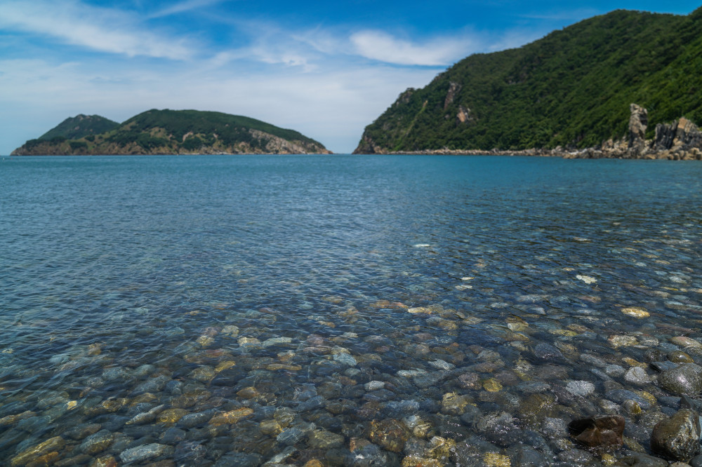
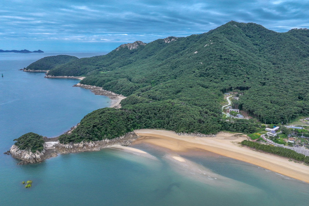
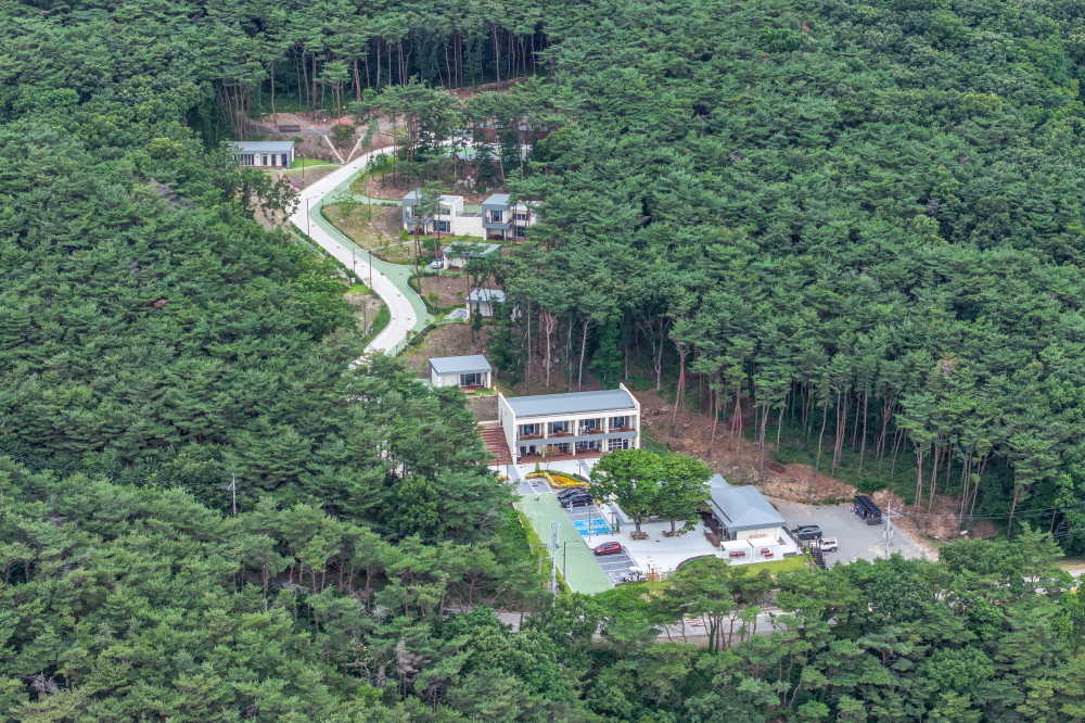
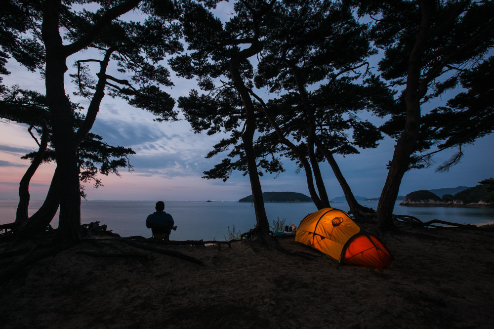
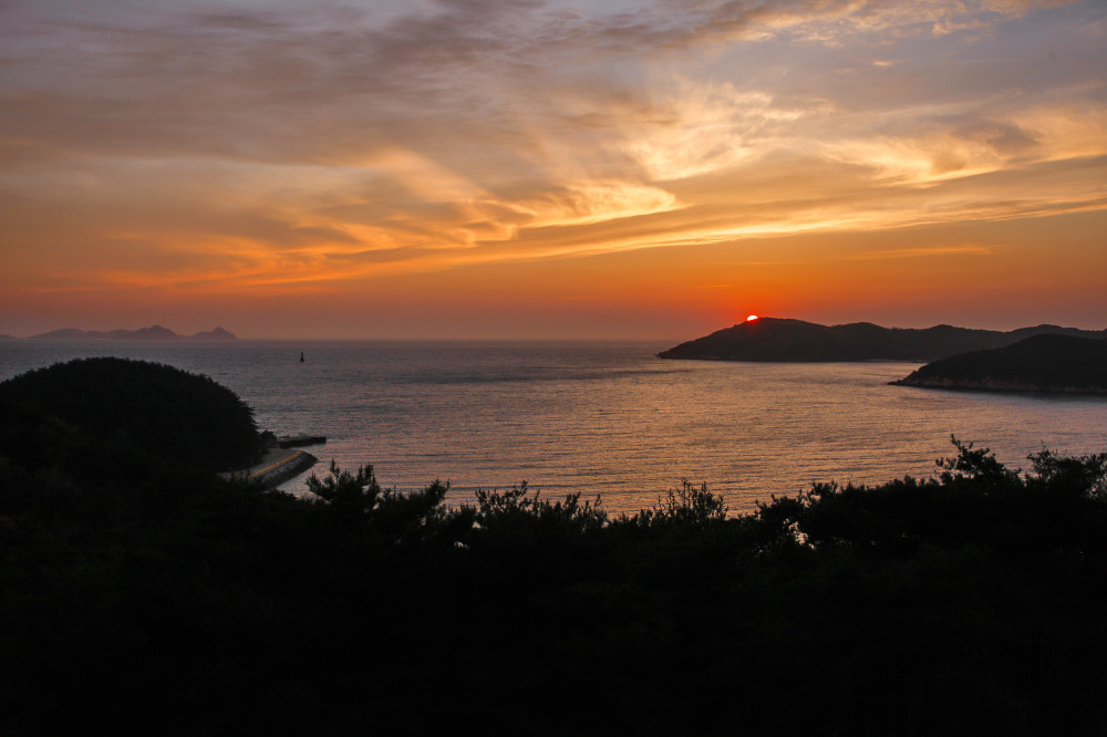
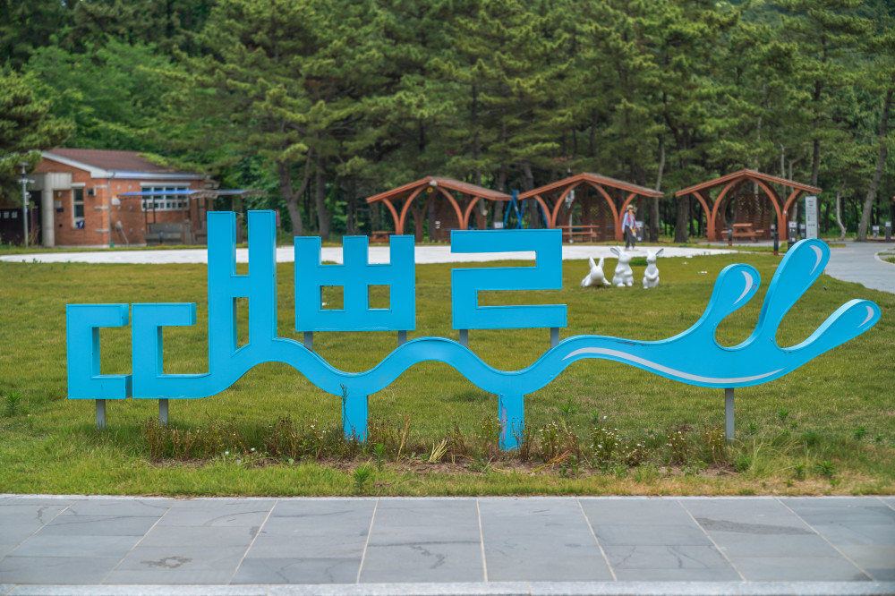
Deokjeokdo Island is the largest island in the Deokjeok Archipelago, located southwest of Incheon Yeonan Pier. The archipelago consists of 8 inhabited islands and 33 uninhabited islands, all of which are located in Deokjeok-myeon, Ongjin-gun, Incheon.
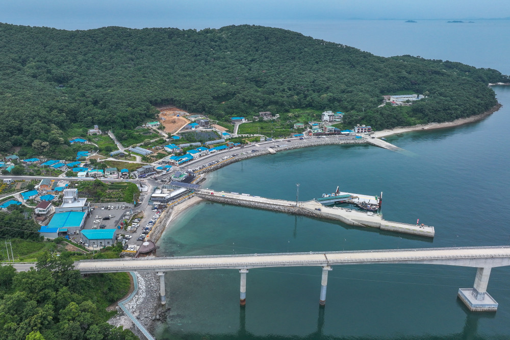
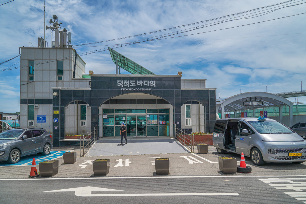
The distance by sea from Incheon Yeonan Pier to Dowoo Port on Deokjeokdo is approximately 45 km. The journey takes about 1 hour and 10 minutes by high-speed passenger ferry, while a car ferry, which can transport both passengers and vehicles, takes approximately 1 hour and 30 minutes.
Car ferries depart not only from Yeonan Pier but also from Bangameori Pier on Daebudo Island in Ansan. Choosing the departure terminal closest to your location makes traveling to Deokjeokdo even more convenient.

Travel Writer Yang Young-hoon Yang Young-hoon left his job as a magazine reporter after just three years—before even graduating from university—and has spent more than 30 years working as a freelance travel writer. He continues to travel extensively, capturing destinations through his writing. A former President of the Association of Korea Travel Writers, he has published 15 books, including Europe, Together with You and Beautiful Sea Journeys Volumes 1 and 2.
SPOT1 Neungdong Pebble Beach
A scenic beach where pebbles and reed fields come together
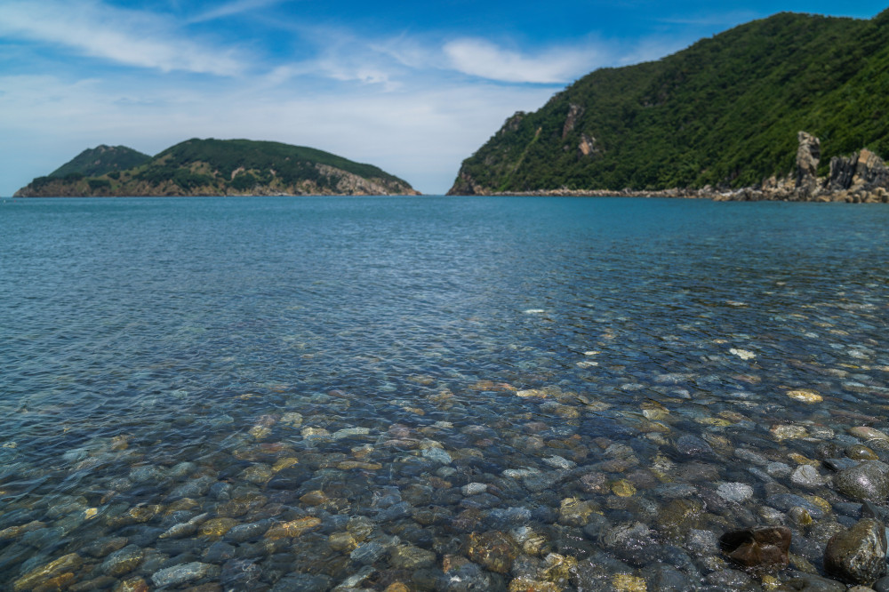
As soon as we arrived at Dowoo Port, we headed straight for Neungdong Pebble Beach, the farthest of Deokjeokdo's major attractions. Even so, it was only about 7 km away.
About ten minutes later, we arrived at the quiet beach. The only sound was the soothing rhythm of gentle waves rolling over the pebbles. The seawater was as clear as glass, revealing every colorful stone beneath the surface.
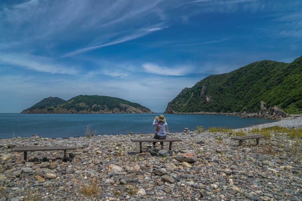
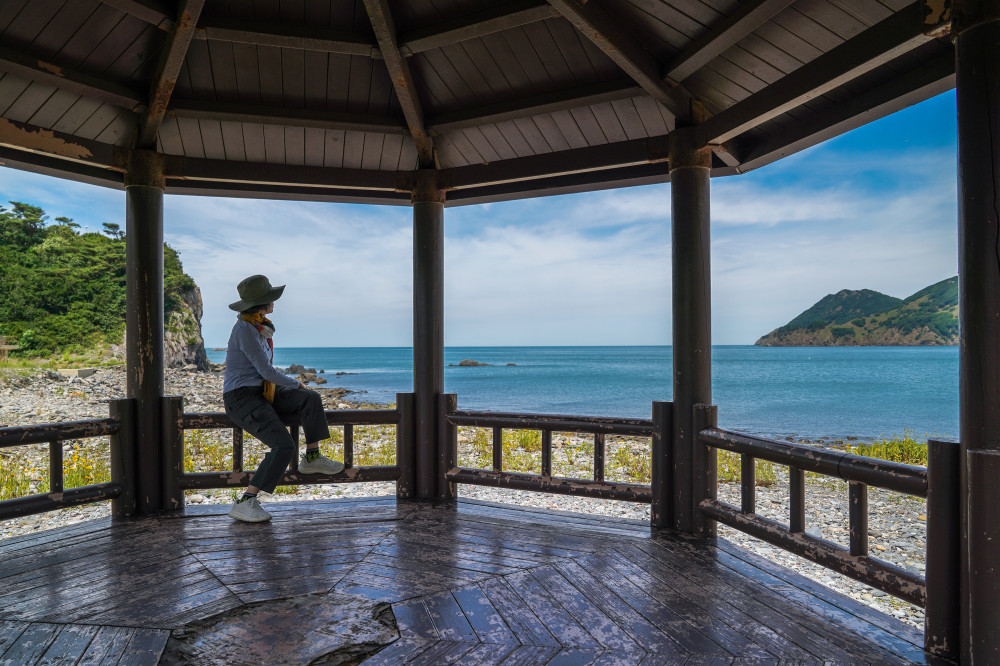
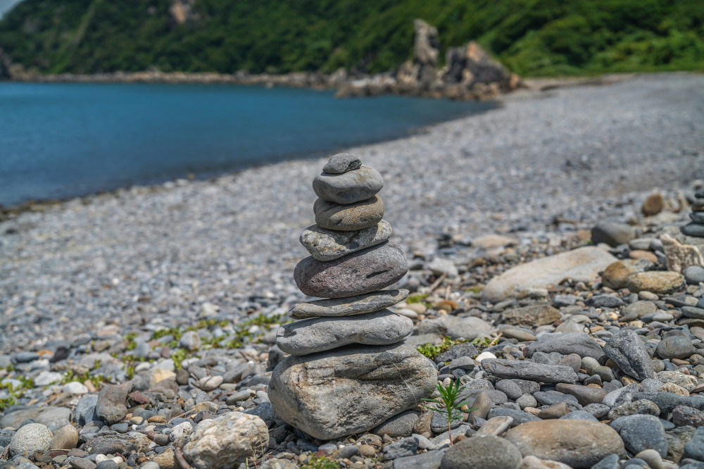
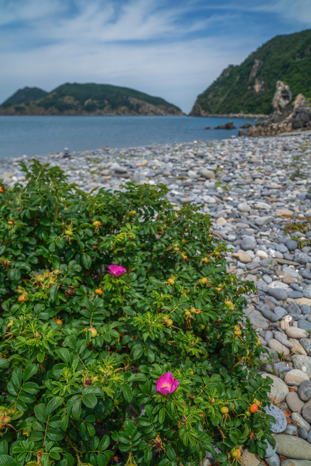
We sat on a bench overlooking the pebble beach, taking in the beautiful coastal scenery through our cameras, then relaxed in a shaded pavilion while enjoying the refreshing sea breeze. Throughout the beach, small stone cairns built with visitors' wishes stood among blooming deep-pink rugosa roses. Walking across the uneven pebble shore, we climbed onto the back of the towering Camel Rock near the center of the beach.
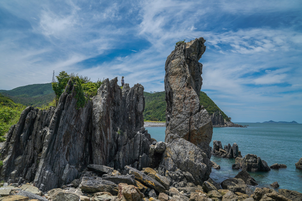
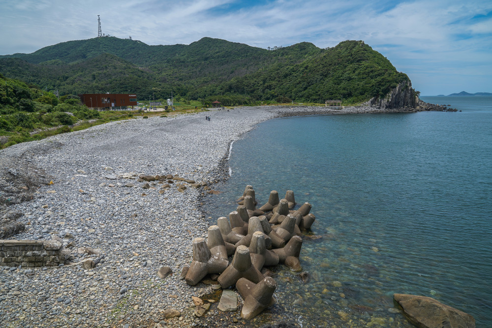
Shaped like a camel lying down and gazing out toward the open sea, Camel Rock serves as a natural observation deck. From here, you can enjoy a panoramic view of Neungdong Pebble Beach. Directly offshore lies the uninhabited Seonmido Island, while farther to the left, Gureopdo, one of the most celebrated islands in the Deokjeok Archipelago, can be seen in the distance.
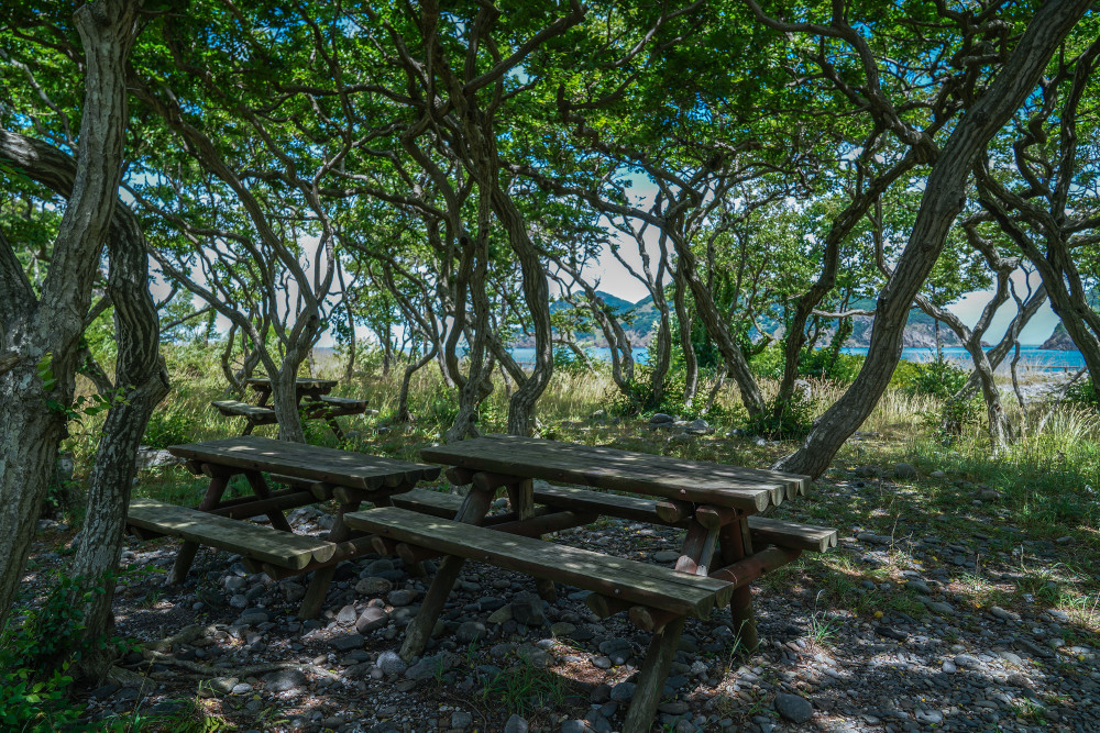
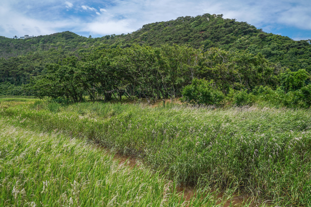
Next to the spacious parking lot at the entrance to Neungdong Pebble Beach is a wetland filled with tall reeds. From late autumn through early winter, the silver reeds shimmer in the sunlight and sway gracefully like waves. Beside the reed field is a shady hornbeam forest, complete with outdoor picnic tables—an ideal spot to take a break and enjoy a packed lunch or a light snack.
- AddressBuk-ri, Deokjeok-myeon, Ongjin-gun, Incheon
- HoursOpen year-round 💡 Tip: It is recommended to visit between sunrise and sunset.
SPOT2 Bijobong Peak
Deokjeokdo's finest natural observatory
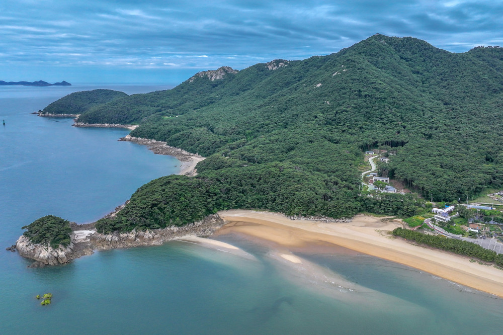
Like many of Korea's islands, Deokjeokdo is essentially one giant mountain rising from the sea, with its slopes flowing seamlessly into the beaches and coastline. The island's highest peak is Guksubong (314 m) in the northwest, but Bijobong Peak (292 m) in the south is its most scenic and popular summit. Renowned for its dramatic rocky ridges and sweeping panoramic views, Bijobong has been selected as one of the “Black Yak Island & Mountain 100.” If you visit Deokjeokdo without climbing Bijobong, you haven't truly experienced the island's greatest charm.
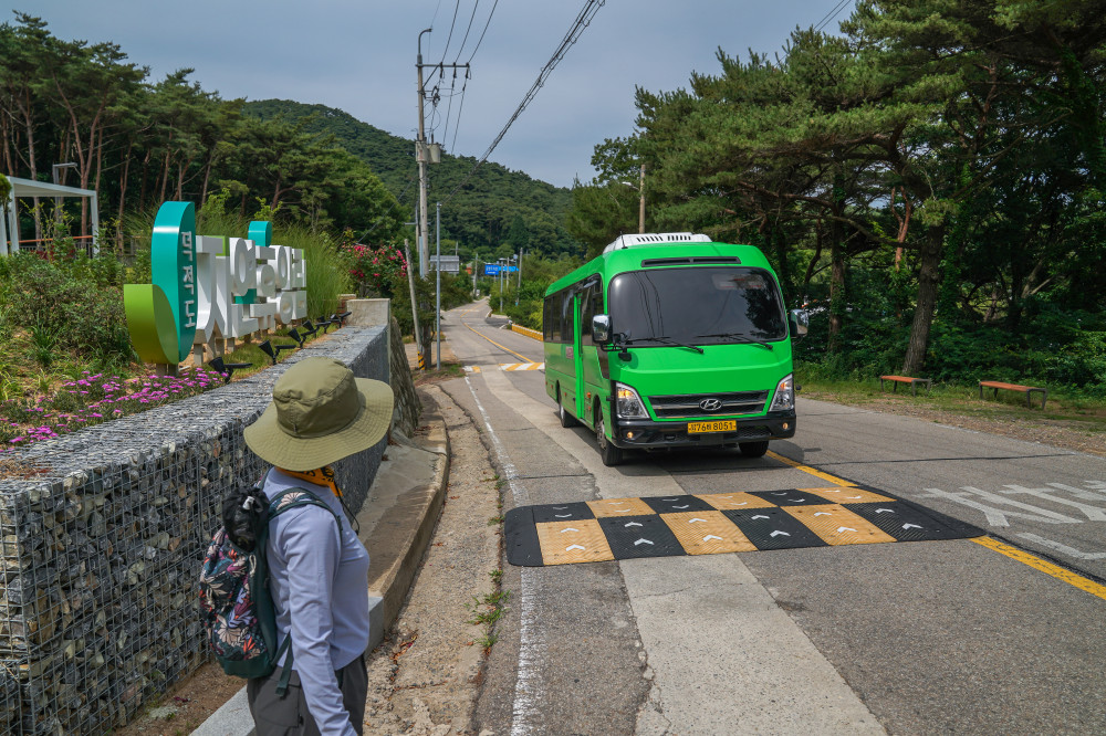
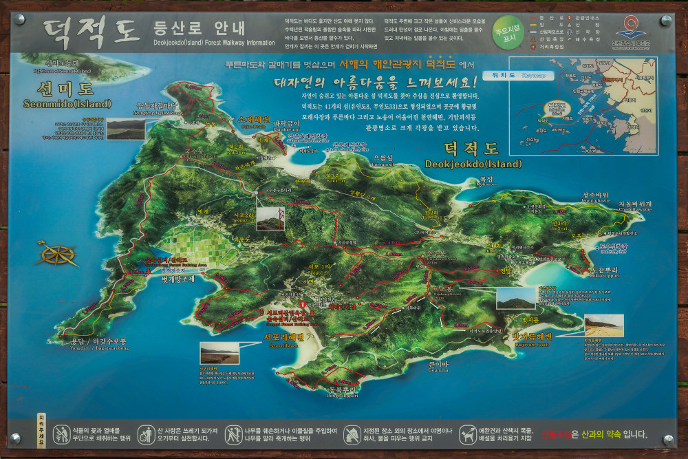
After parking at our accommodation, Deokjeokdo Recreational Forest, we set off for Bijobong Peak. Our route began near the recycling center in Seopori, continued to the summit, and descended back to the recreational forest. Although the total distance is only 2.21 km, the climb is more challenging than it appears.
▷ To reach the trailhead from the recreational forest, we took the local bus that runs between Jin-ri and Seopori.
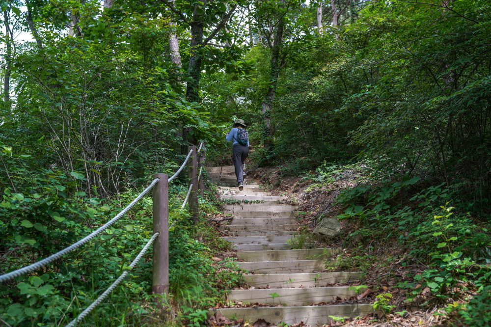
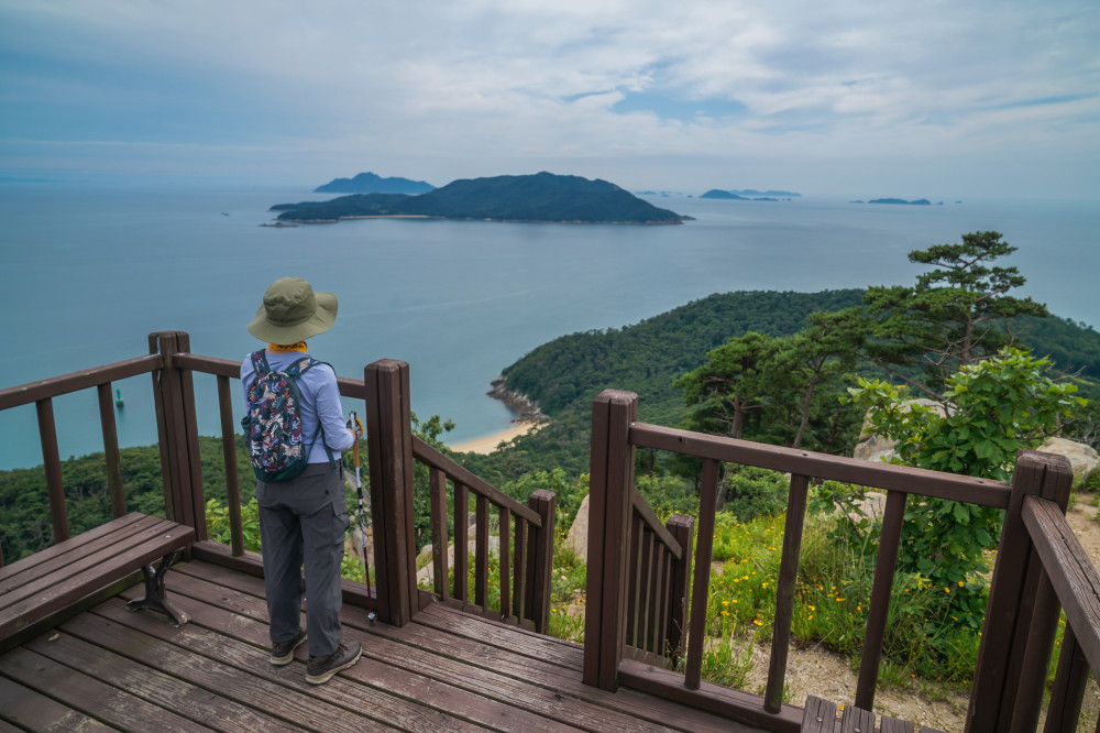
From the trailhead near the Seopori Recycling Center to the summit is just 1.15 km. On level ground, that distance would normally take around 15 minutes, but here you should allow about an hour due to the steep terrain.
The trail begins with a series of steep climbs, including wooden staircases and rocky sections where ropes assist hikers. About 20 minutes into the hike, we emerged from the densely wooded slope onto an open ridgeline, where the expansive views instantly made the climb worthwhile.
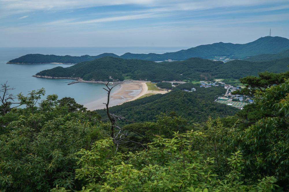
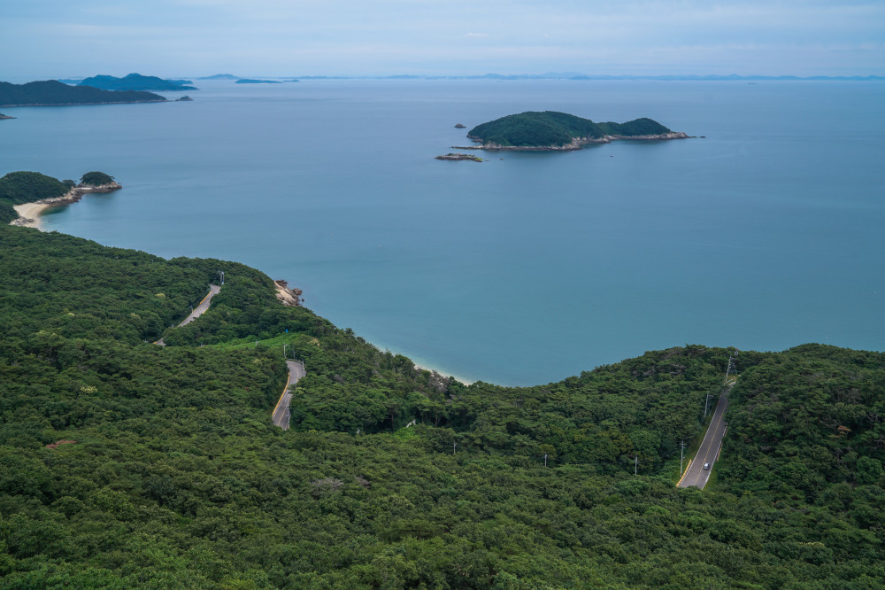
A wooden observation deck sits along the ridge. Below, the winding coastline and road between Jin-ri and Seopori unfold before you. Looking to the right, you'll enjoy a close-up view of Seopori, with its broad sandy beach backed by a beautiful pine forest. Beyond the village rises the military communications tower atop Guksubong Peak.
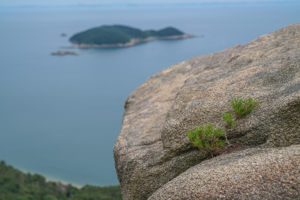
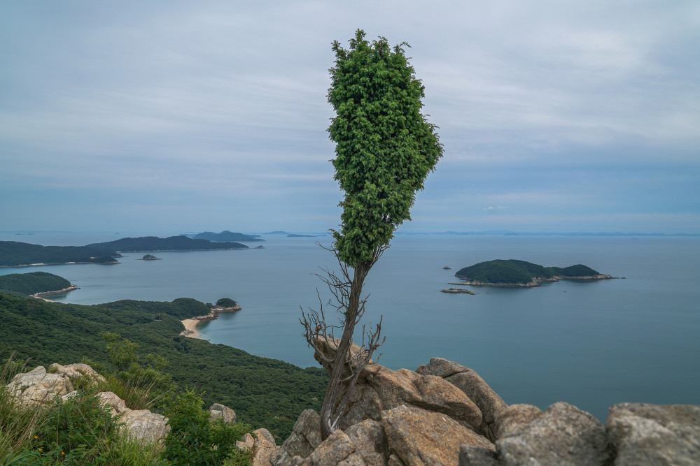
Along the western ridge of Bijobong Peak, the trail alternates between forest, grassy meadows, and rocky outcrops, making for a dynamic and enjoyable hike. There is always something interesting to see, especially the resilient pine trees and junipers that have managed to take root and thrive in narrow cracks between the rocks.
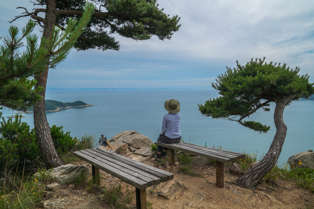
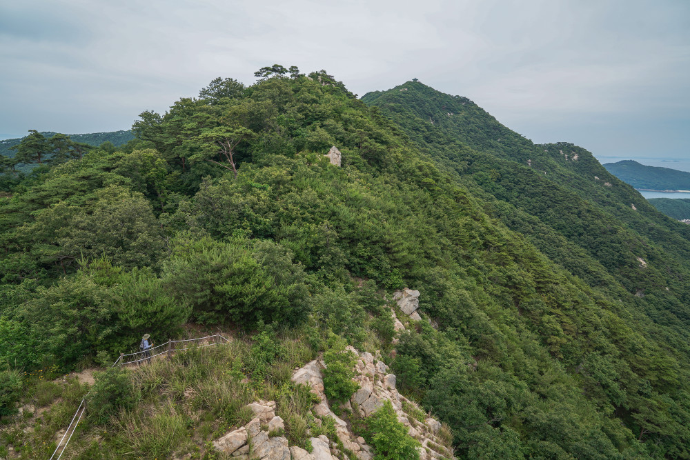
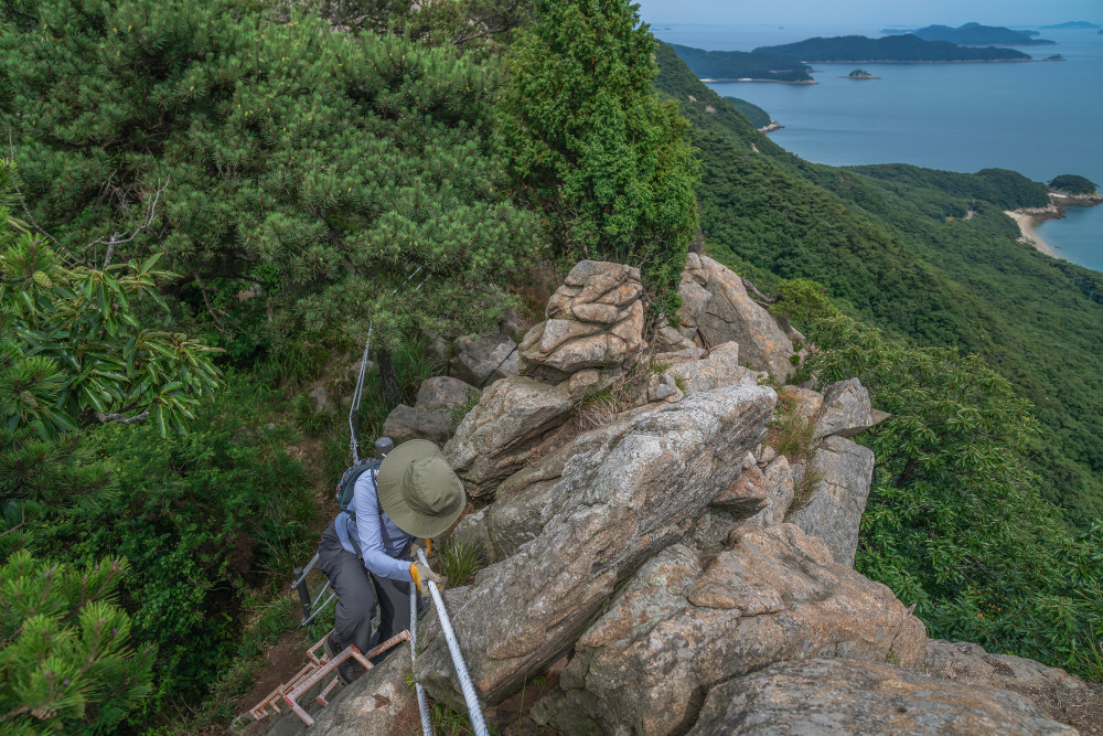
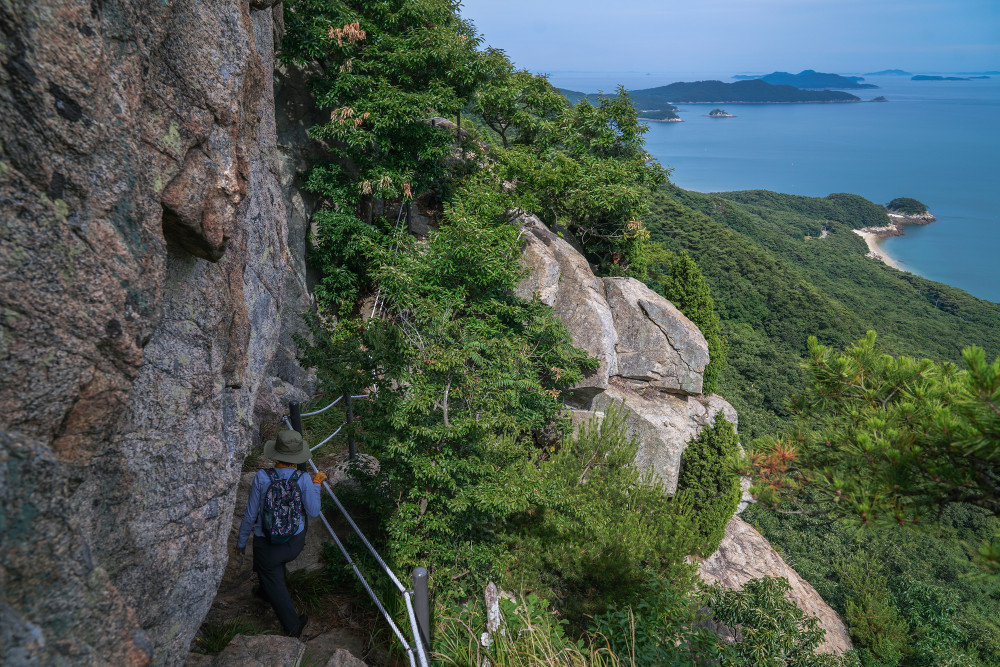
From the first observation deck, it takes about 40 more minutes to reach the summit. While the overall gradient becomes gentler, don't let your guard down. Some sections are steep enough to require ropes and ladders. Even so, the hike never feels overly difficult or monotonous, thanks to the spectacular natural viewpoints overlooking the Deokjeok Archipelago that appear along the way.
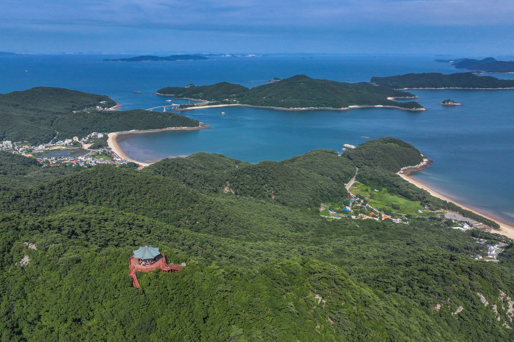
About an hour after setting off, we finally reached the summit of Bijobong Peak. Named for its resemblance to a bird soaring through the sky, the peak is crowned by Bijojeong Pavilion, whose graceful silhouette seems ready to take flight. As expected from a summit pavilion, it offers uninterrupted views in every direction. From here, you can see Batjireum Beach with its lush pine forest and pristine white sand, Jin-ri Village, home to the township office, the Deokjeok–Soya Bridge connecting Deokjeokdo and Soyado, and panoramic views of Soyado Island beyond.
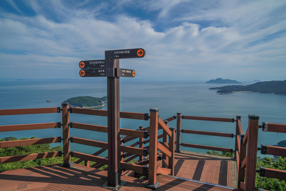
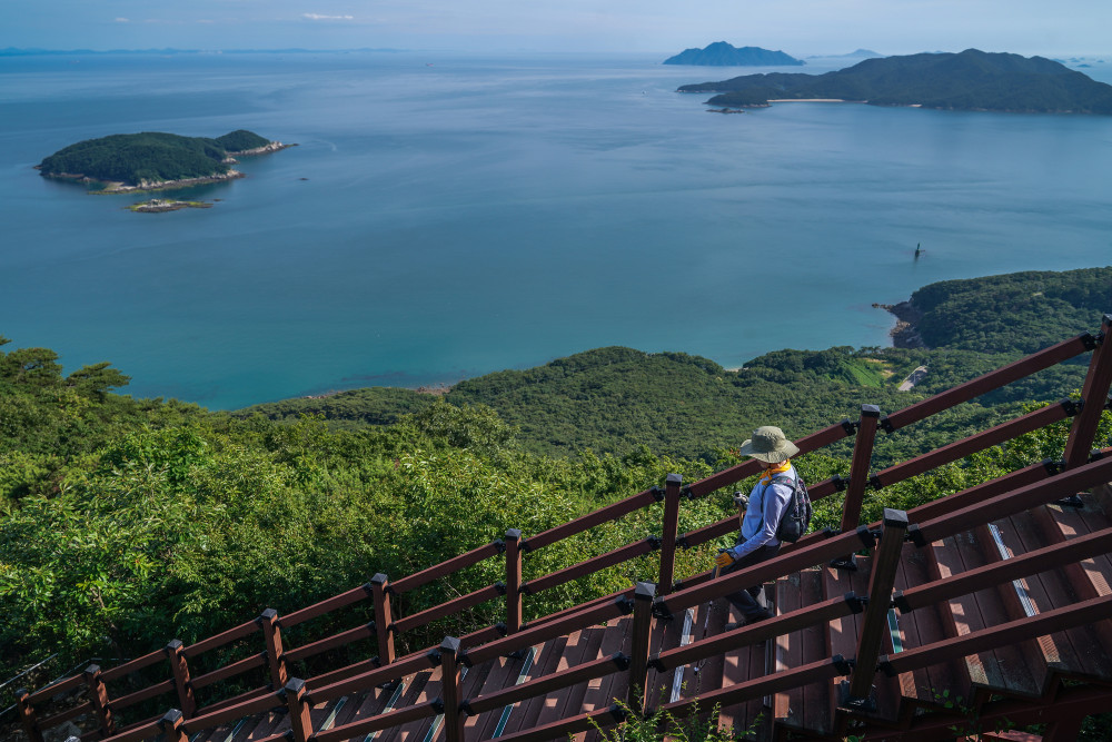
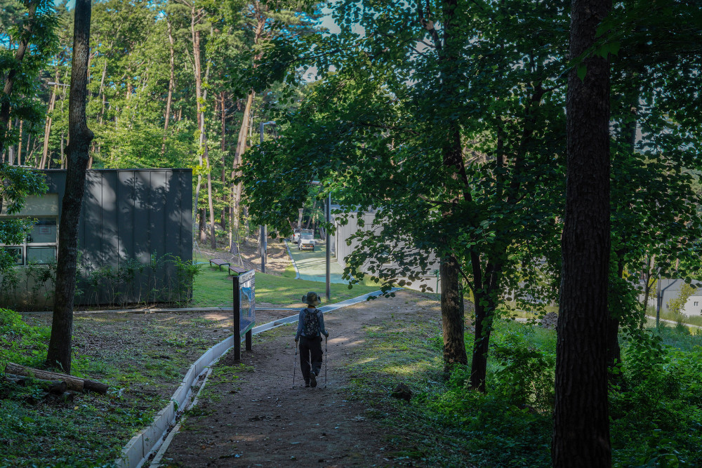
Now it was time to descend. Jin-ri Village is 1.2 km away, while Deokjeokdo Recreational Forest is just 1 km from the summit. The trail to Jin-ri is longer but gentler, whereas the route back to the recreational forest is shorter but includes several steep descents, so extra caution is advised.
After carefully making our way down rope-assisted slopes and through fragrant pine forests, we arrived back at Deokjeokdo Recreational Forest. The descent took about 30 minutes from the summit. A deep sense of relief was accompanied by the satisfaction of completing the hike.
- AddressSeopori, Deokjeok-myeon, Ongjin-gun, Incheon
- Hiking Courses1. Seopori Recycling Center → 1.24 km → Bijobong Peak Summit → 0.9 km → Deokjeokdo Recreational Forest
2. Seopori Fitness Facility → 0.97 km → Bijobong Peak Summit → 0.89 km → Jin-ri Catholic Church - DurationApproximately 2 hours for either course.
SPOT3 Deokjeokdo Natural Recreation Forest
A magnificent forest retreat with ocean views
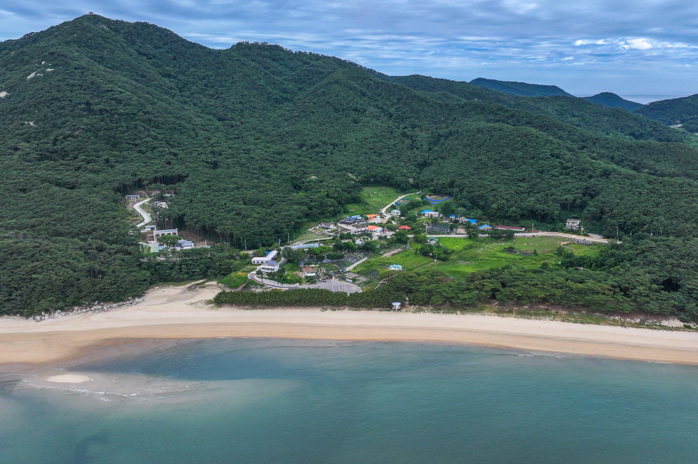
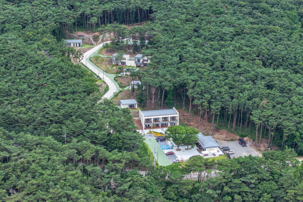
Nestled within the lush pine forest along Deokjeokdo's coastline is Deokjeokdo Natural Recreation Forest, a public forest retreat that has been open for just over a year. Built with a total investment of KRW 6 billion, it officially opened in March 2025. Covering approximately 120,000 square meters on the southeastern slope of Bijobong Peak, the forest is managed and operated directly by the Deokjeok-myeon Office.
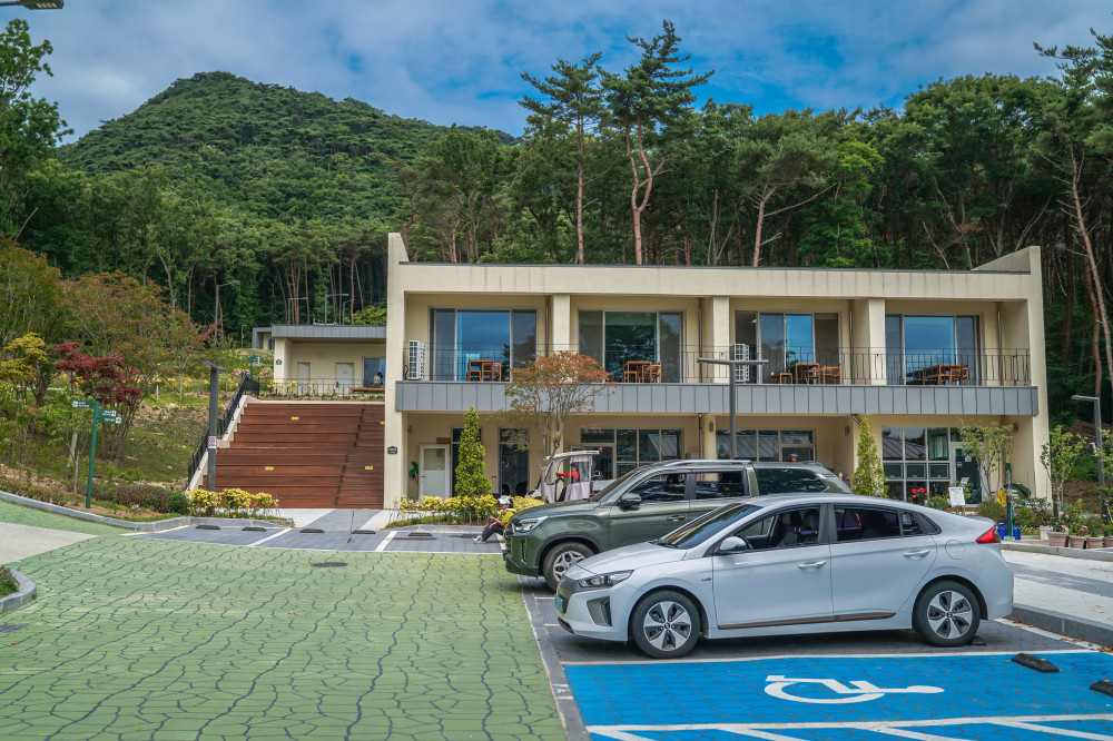
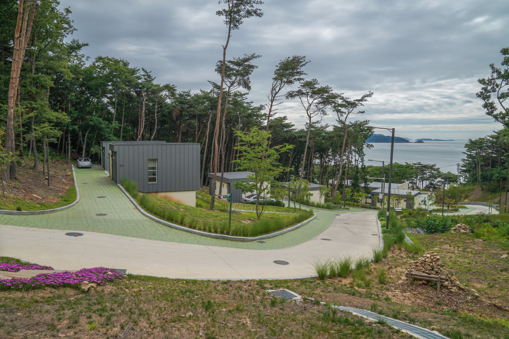
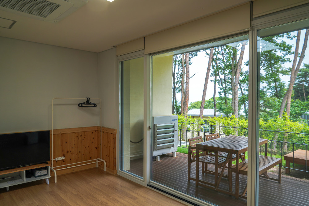
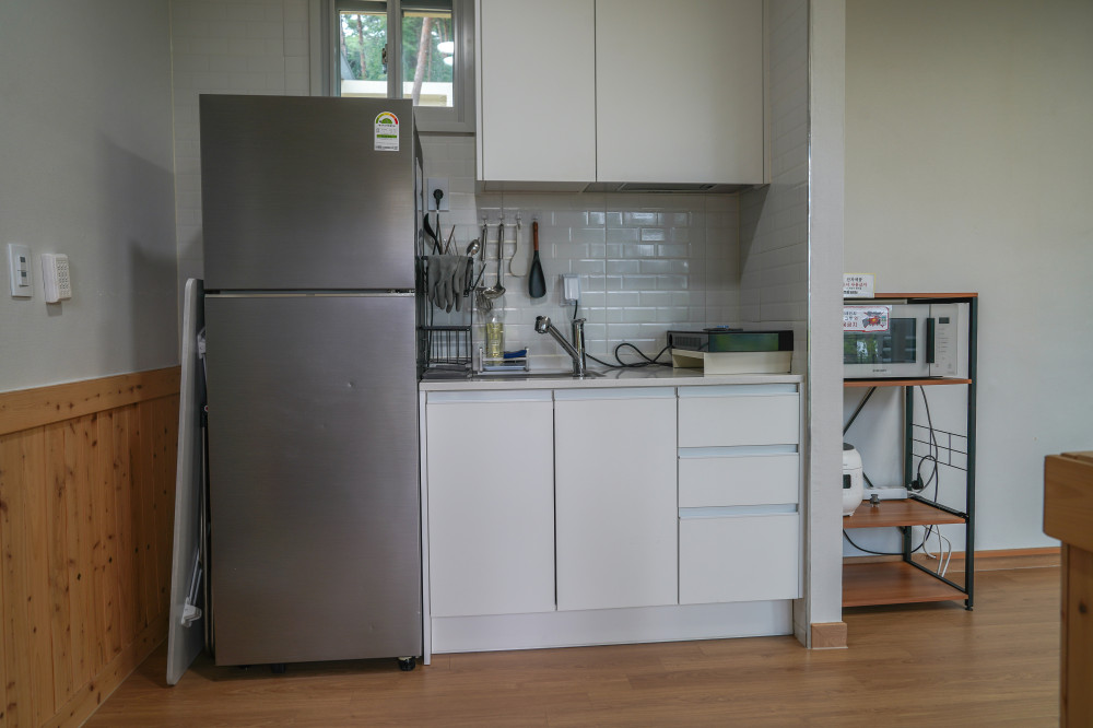
The recreational forest offers a variety of accommodations, including the Forest Lodge with condominium-style rooms (4 units), Forest Cabins (5 detached cabins), and a campground with six spacious wooden deck sites. As a newly opened facility, everything is clean, modern, and well maintained. The detached cabins, each tucked beneath towering pine trees, are especially appealing, offering privacy and a peaceful retreat away from other guests.
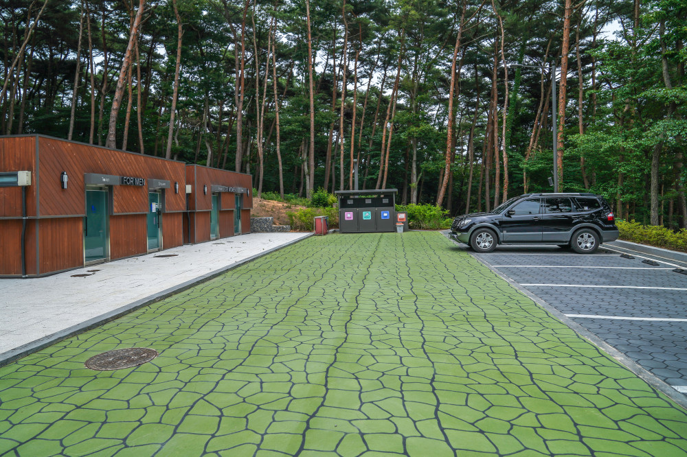
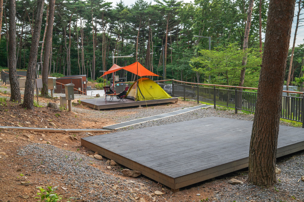
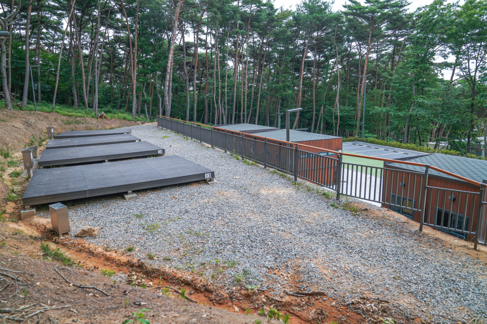
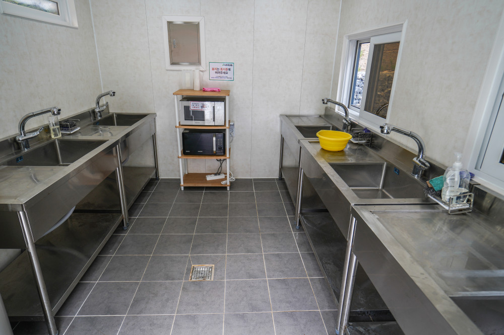
At the highest point of the recreational forest is the campground, which features six deck campsites. Sites 1 and 2 are separated from the others, making them ideal for two families camping together. The remaining four sites are located on a hillside behind the building that houses the restrooms, showers, and cooking facilities. Surrounded by tall pine trees like a natural screen, the area is filled with the rich fragrance of pine.
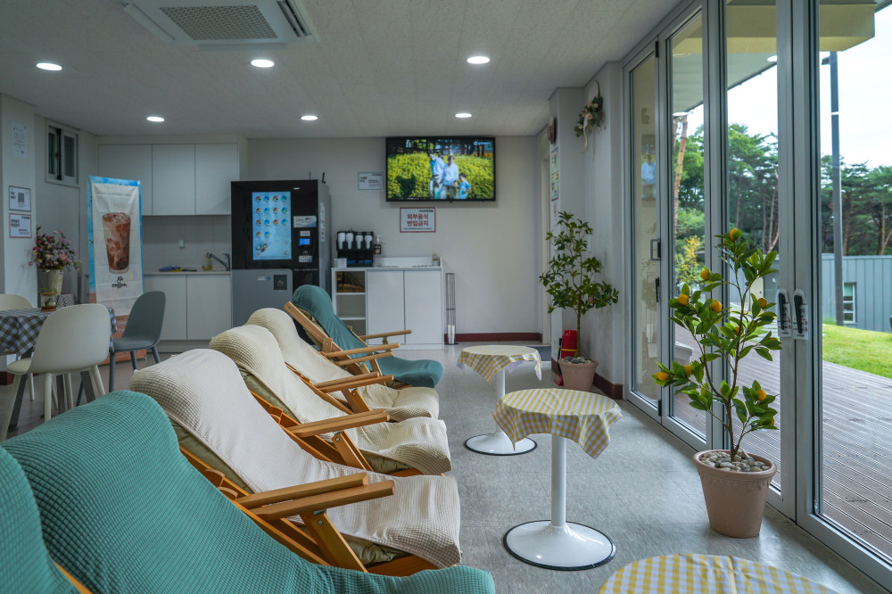
Among the recreational forest's amenities, the cafeteria is particularly impressive. Located just below Campsites 1 and 2, it is also the first building hikers encounter when descending from Bijobong Peak. Inside are comfortable lounge chairs, tables, and a coffee vending machine. It's the perfect place to relax with a cup of coffee while enjoying panoramic ocean views through the large floor-to-ceiling windows.
If simply admiring the sea from indoors isn't enough, take a leisurely 3- to 4-minute walk from the entrance of the recreational forest to nearby Batjireum Beach and enjoy a stroll along the shoreline.
- Address220, Deokjeongnam-ro, Deokjeok-myeon, Ongjin-gun, Incheon
- HoursCheck-in: 3:00 PM / Check-out: 11:00 AM
- ClosedFourth Tuesday of every month
- Inquiries032-899-2860
- Reservationshttps://www.foresttrip.go.kr/indvz/main.do?hmpgId=ID02030127
SPOT4 Batjireum Beach
A romantic beach for camping and summer relaxation
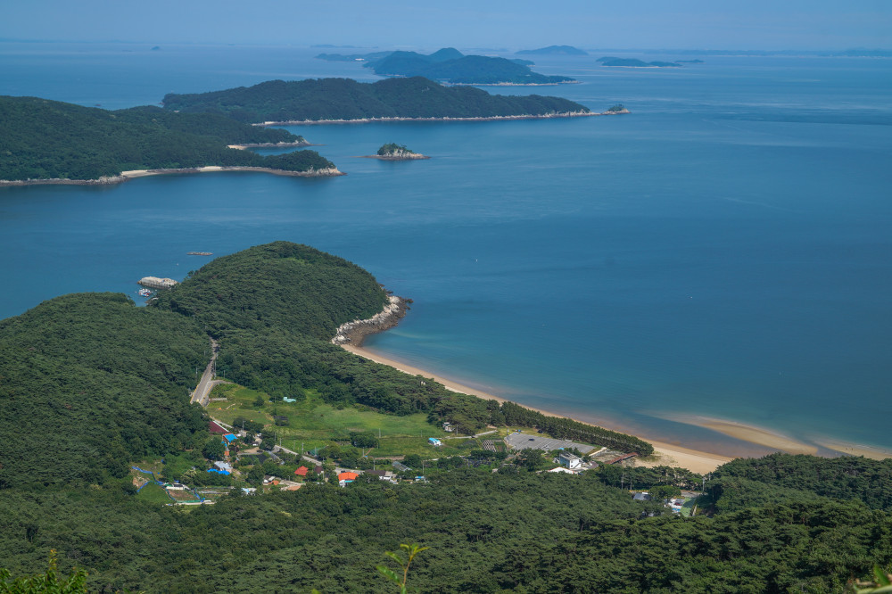
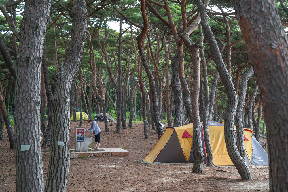
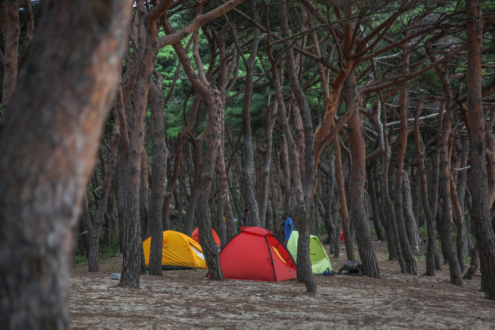
Of all the attractions on Deokjeokdo, Batjireum Beach is, in my opinion, the island's most captivating destination. Pine forests are common throughout Deokjeokdo, but the one lining Batjireum Beach is widely considered the most beautiful. Hundreds of centuries-old pine trees stand shoulder to shoulder along a charming 600-meter stretch of white sand.
The majestic yet graceful appearance of these old pines is enough to lift your spirits simply by looking at them. Better yet, you can pitch a tent on the soft sand beneath the trees and spend the night. For anyone who loves pine forests or enjoys backpacking and camping, this place is nothing short of paradise.
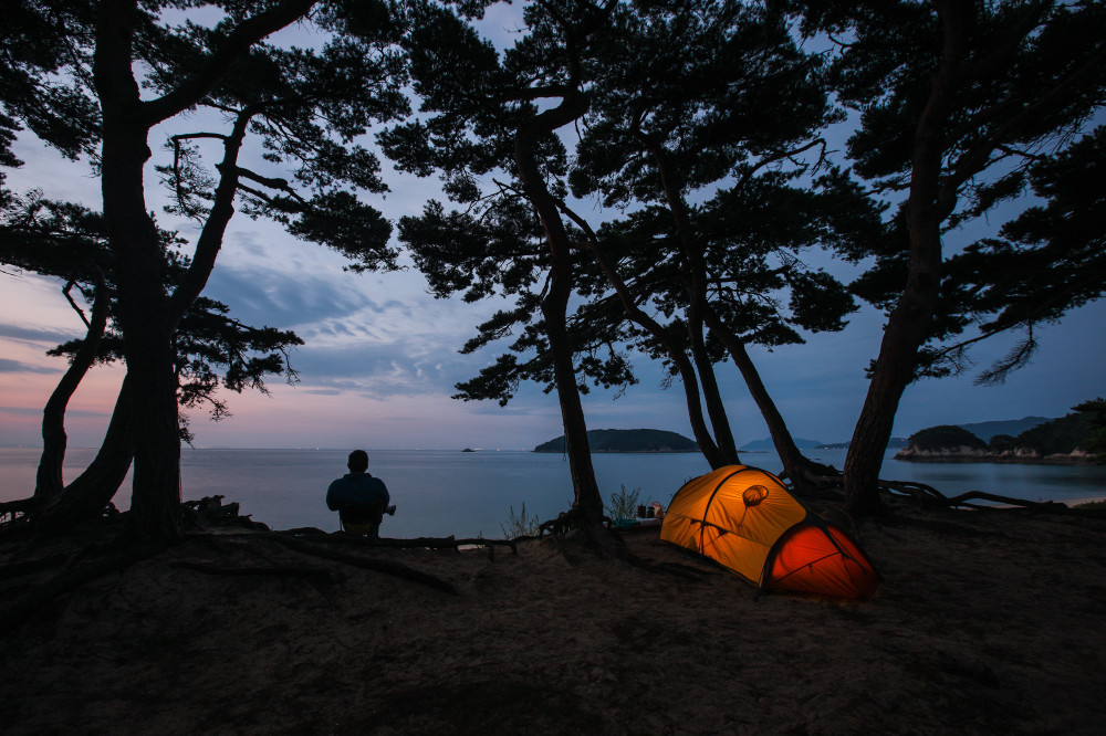
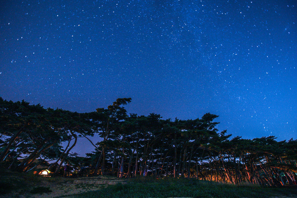
About ten years ago, I camped beneath the pine trees at Batjireum Beach. With just a slight unzip of the tent door, the beautiful sea stretched out before me. Lying on the soft white sand, as comfortable as a thick quilt, I gazed up at the night sky while countless stars seemed to pour down over me like a waterfall. That unforgettable experience remains as vivid today as if it had happened only yesterday.
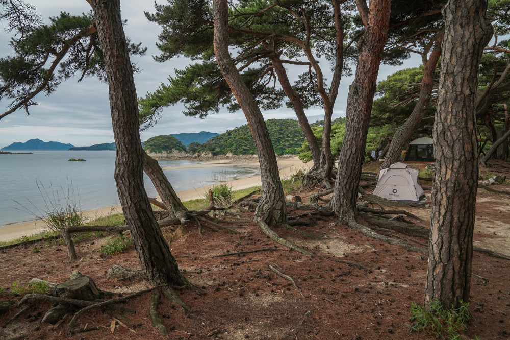
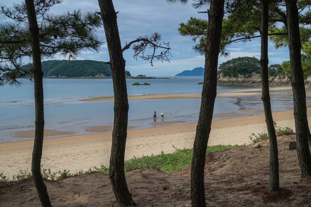
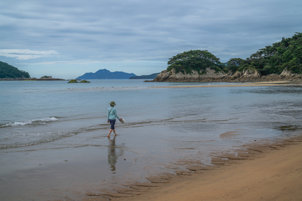
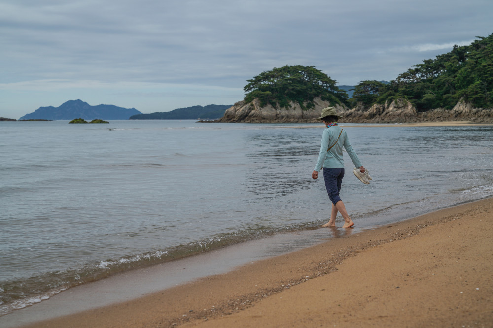
The pine forest and white sand beach at Batjireum delight all five senses. The rich scent of pine fills the air, the centuries-old trees are a feast for the eyes, the rhythmic sound of waves rolling onto the shore soothes the ears, and the soft sand beneath your feet offers a comforting touch. In such beautiful surroundings, every meal somehow tastes extraordinary—comforting and satisfying, like a home-cooked meal prepared by your mother.
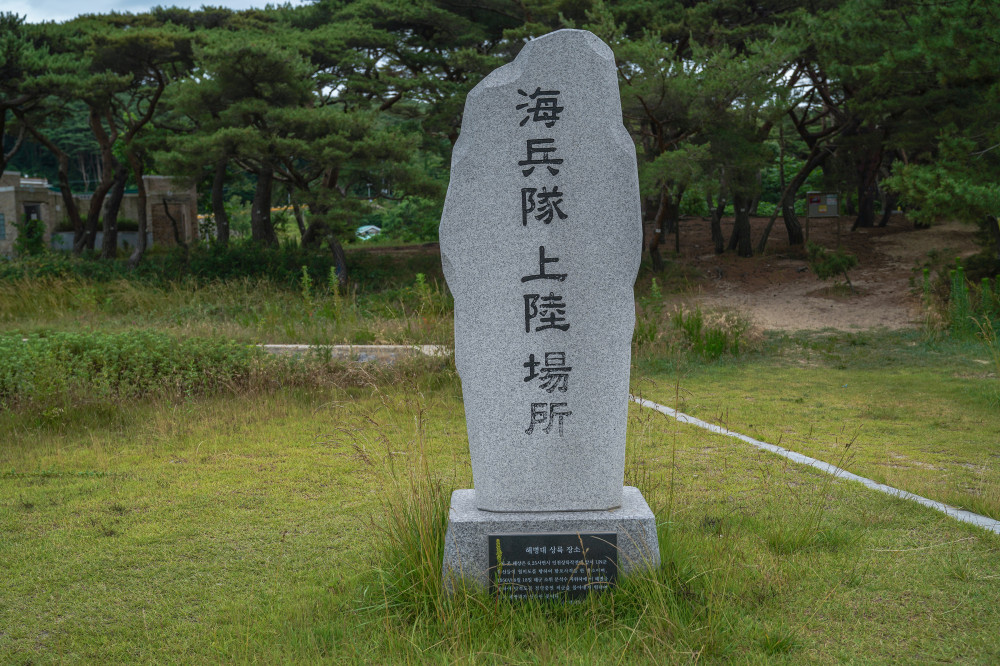
After lingering at Batjireum Beach for quite some time, I reluctantly began the walk back. On the way to the parking lot, I noticed a monument inscribed with the words "Marine Landing Site." The inscription below reads:
"These waters were where United Nations naval vessels bombarded Wolmido prior to the Incheon Landing Operation during the Korean War. On August 18, 1950, under the command of Navy Second Lieutenant Moon Seok-su, Korean Marines landed on this beach to drive out enemy forces occupying Deokjeokdo."
- AddressJin-ri, Deokjeok-myeon, Ongjin-gun, Incheon
- HoursOpen year-round
- Camping FeeFree
- FacilitiesParking, drinking water, restrooms (closed during winter), and showers (limited availability)
SPOT5 Seopori Beach
A national tourist destination with a vast pine forest and pristine white sand
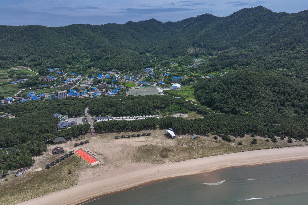
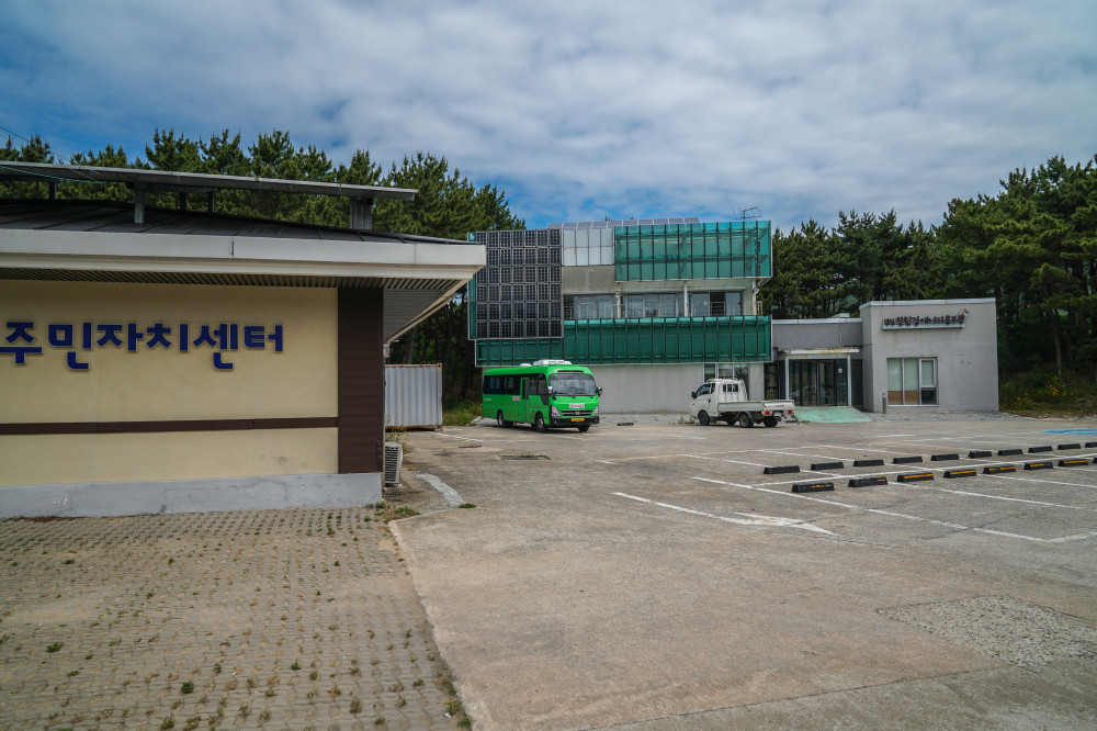
No trip to Deokjeokdo Island would be complete without a visit to Seopori Beach. With its expansive white sand and picturesque pine forest, it is widely regarded as the island's premier tourist attraction. In 1973, it became the first National Tourist Site on Korea's west coast. Since comprehensive tourism development began in 1991, the area has grown to include a wide range of visitor facilities, including pensions, restaurants, and campgrounds.
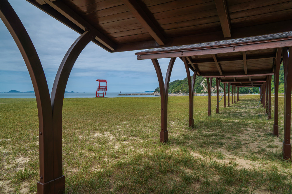
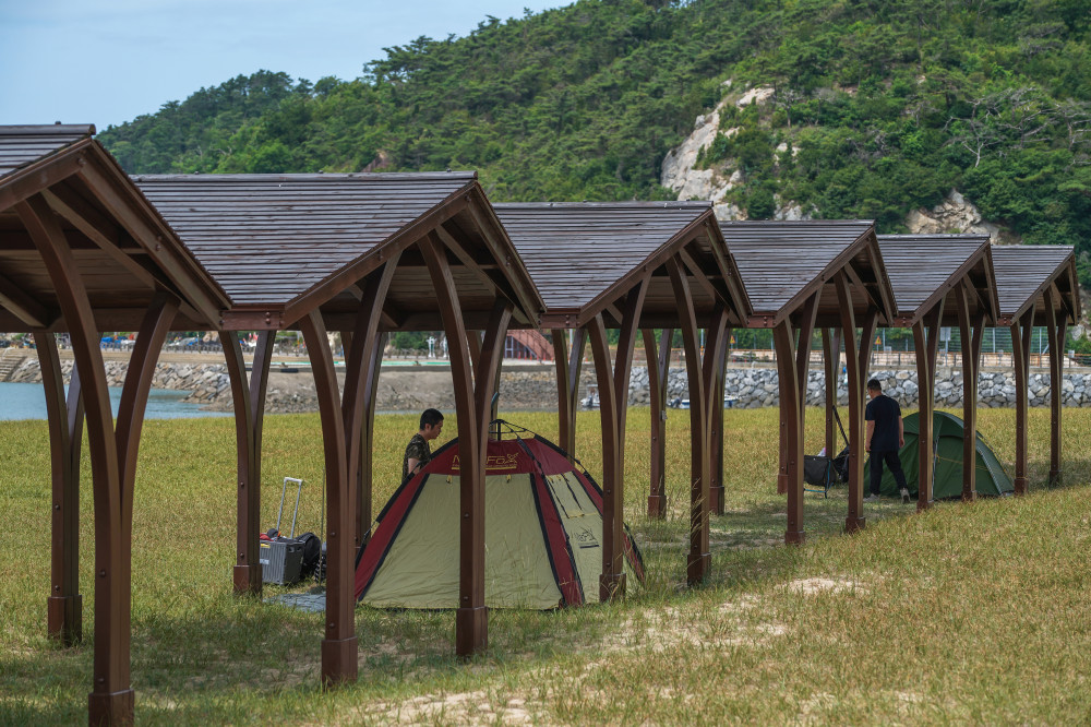
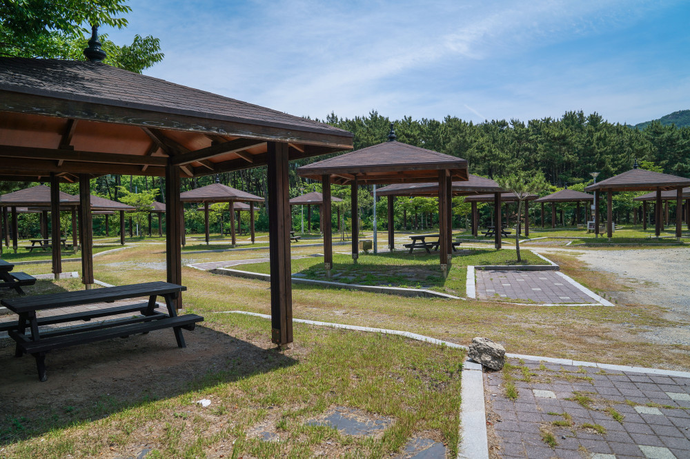
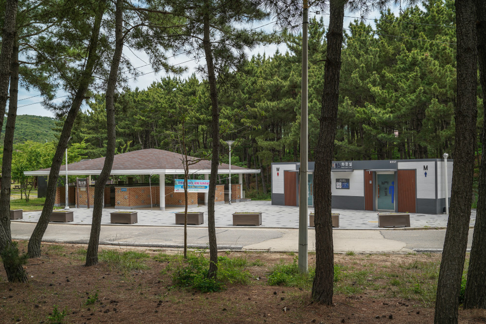
Seopori Beach is even larger than it appears. At low tide, you'll need to walk quite a distance before reaching water deep enough to wade into. One side of the beach features patches of dune grass and lawn, along with shaded rest areas for visitors. Camping is permitted throughout the area, whether on the beach, in the surrounding pine forest, or at the auto campground, although camping fees apply.
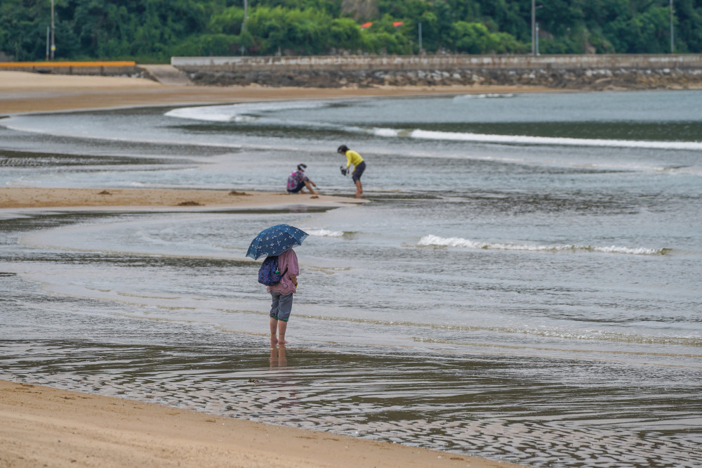
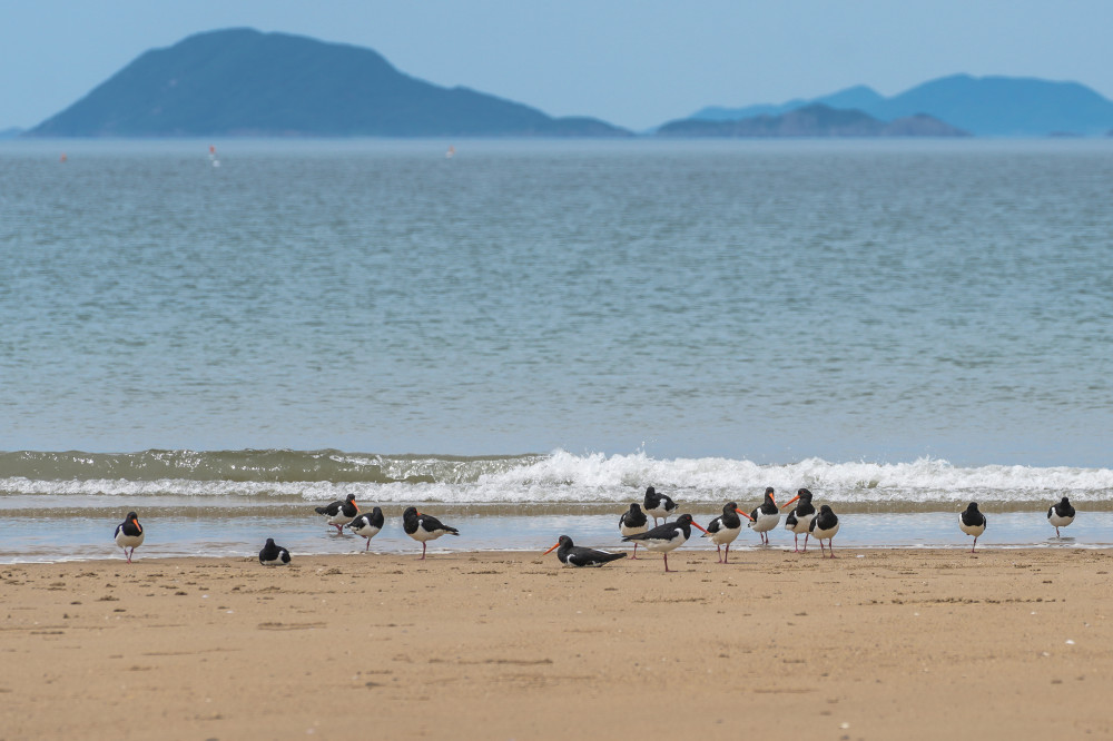
Throughout the year, Seopori Beach attracts a steady stream of visitors and campers. Even if you're not planning to swim, simply gazing out at the sea or taking a leisurely walk through the pine forest offers a welcome sense of peace and relaxation.
During our visit, we also spotted flocks of Eurasian oystercatchers, rare shorebirds whose species is protected as a Natural Monument in Korea, busily searching for food along the shoreline. Their presence is a sign of the beach's healthy ecosystem, rich with shellfish, marine worms, and other food sources.
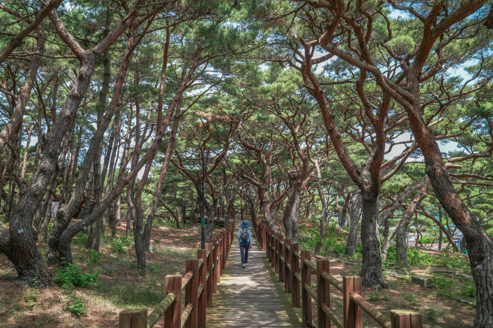
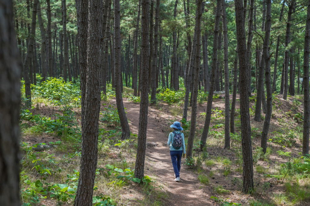
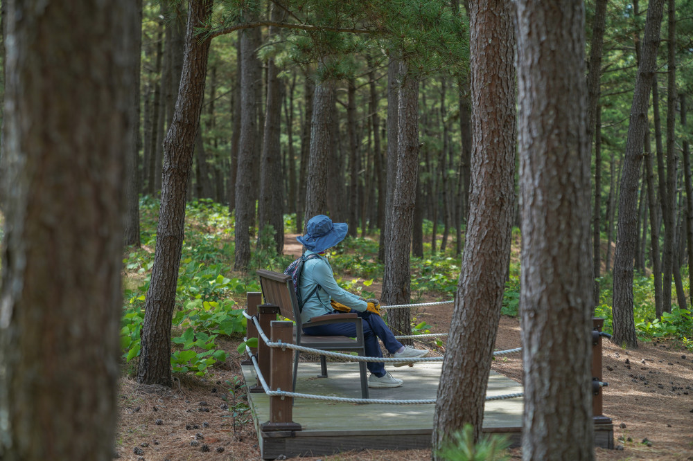
One of Seopori Beach's greatest attractions is its magnificent pine forest. Along the shoreline, a coastal trail is lined with Japanese black pines, while the nearby Well-being Forest Bathing Trail winds through towering Korean red pines, each growing into its own distinctive shape. Wooden boardwalks and coconut-fiber paths make for comfortable walking, and numerous rest areas invite visitors to slow down and linger among the trees.
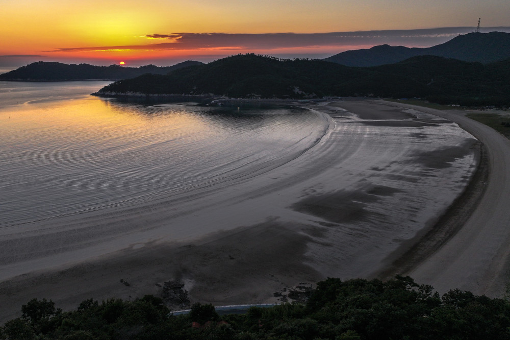
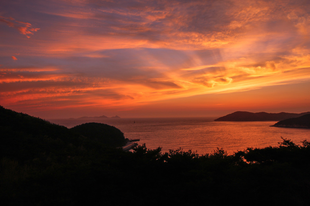
Seopori Beach is also famous for its spectacular sunsets and evening glow. From late spring through early autumn, the sun sets too late to watch it dip below the horizon over the sea. During the rest of the year, however, visitors can enjoy brilliant sunsets that paint both the sky and the sea in shades of crimson. Beside the coastal road (Deokjeongnam-ro) stands a two-story pavilion known as Nakjodae Rest Area, once a popular spot for watching the sunset. It is currently closed to visitors, so it is no longer accessible.
- Address591, Deokjeongnam-ro, Deokjeok-myeon, Ongjin-gun, Incheon (Deokjeok Resident Community Center / Bus Terminal)
- Reservations & Inquiries010-9738-2232 (Village Community Association President)
- Camping FeesKRW 10,000 per day (beach or pine forest campsite); KRW 20,000 per day (auto campsite)
- FacilitiesFree parking, restrooms, showers, shaded shelters, and drinking water
SPOT6 Soyado Island
A cozy island with a beautiful pine forest campground and a "mysterious sea road"
Just southwest of Deokjeokdo lies Soyado, a small island steeped in history. According to local legend, the island was named after the Tang dynasty general Su Dingfang, who is said to have stayed here in 660 AD before joining forces with Silla to attack the Baekje Kingdom.
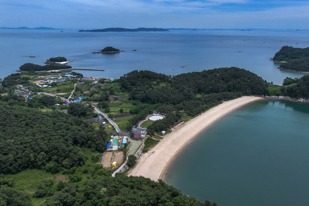
Soyado is a small island, covering only about one-seventh the area of Deokjeokdo. Since the opening of the Deokjeok–Soya Bridge in May 2018, visitors have been able to travel between the two islands by road without taking a ferry. Today, many travelers visit Soyado specifically to camp at Tteppuru Beach.
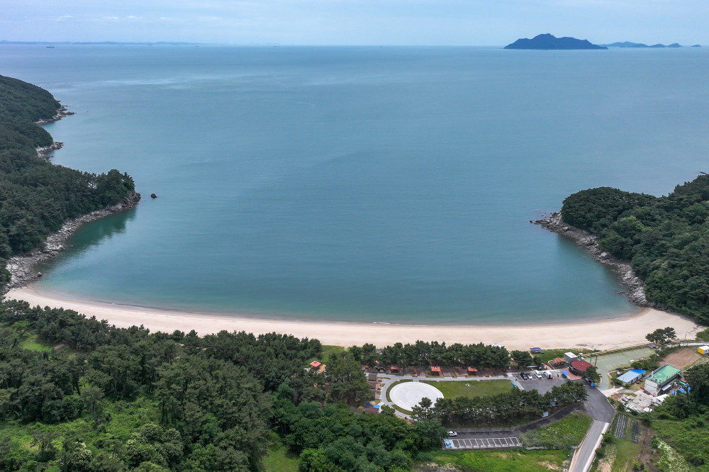
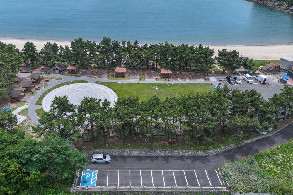
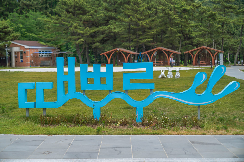
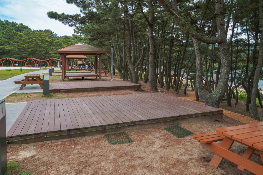
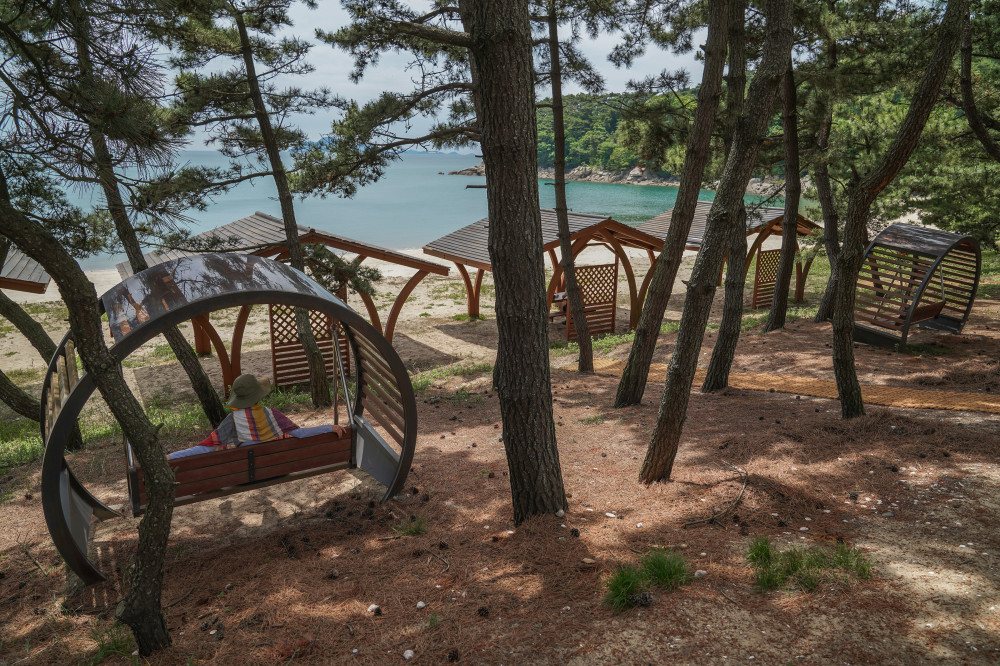
Tteppuru Beach, also known as Tteppuri Beach, is home to an excellent campground nestled within a coastal pine forest. The campground is well equipped with a parking lot, restrooms, cooking facilities, showers, a grassy lawn, and wooden deck campsites, making it especially popular with campers. Since the campground is located right next to the beach, it's also an ideal place to enjoy swimming. No matter where you set up camp, you'll be rewarded with beautiful ocean views.
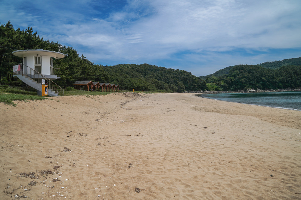
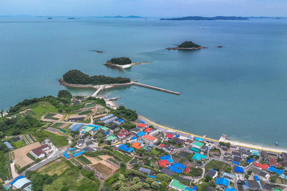
On the way to Tteppuru Beach, it's worth stopping by Seonchon Port, where the famous "Mysterious Sea Road" appears whenever the tide goes out. At low tide, a natural land bridge connects Soyado, Gatseom (where the breakwater is located), Gandetseom, and Mulpureseom. Visitors can even walk all the way to Mulpureseom along the exposed seabed. However, once the tide begins to return, you should never attempt to continue across the sea road.
- AddressSan 219, Soya-ri, Deokjeok-myeon, Ongjin-gun, Incheon (Tteppuru Beach Parking Lot)
- Campground Reservations & Inquiries010-8965-5265
- Camping Fees (per night)KRW 40,000 (1 large tent); KRW 40,000 (2 small tents); KRW 30,000 (1 small tent)
- Shower Fee (per use)Adults KRW 2,000 / Children KRW 1,000
- FacilitiesParking lot, restrooms, showers, swing chairs, and swing benches
SPOT7 Doukkeut Coastal Walking Trail
A coastal trail featuring a seaside boardwalk and lush forest paths
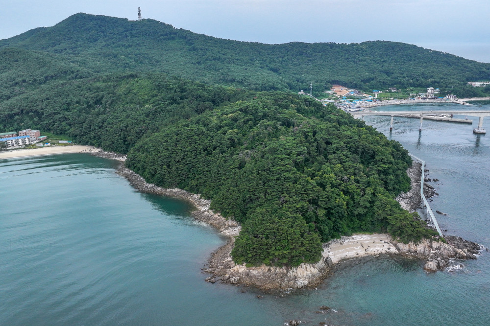
Next to Dowoo Port in Jin-ri, the gateway to Deokjeokdo, lies a beautiful coastal walking trail. It was once known as the Doukkeut Coastal Walking Trail, but on the latest Deokjeok-myeon tourism map, it is labeled simply as the Dou Trail or the Dokkkeutburi Coastal Trail. The trail begins at the Sailing Ship Observatory in front of the NongHyup Hanaro Mart.
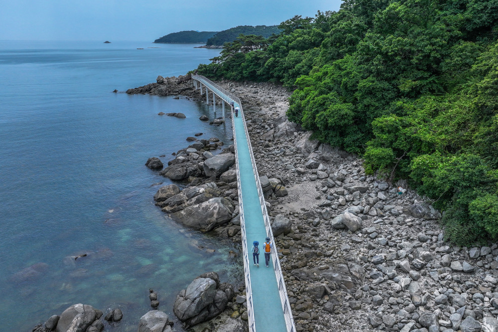
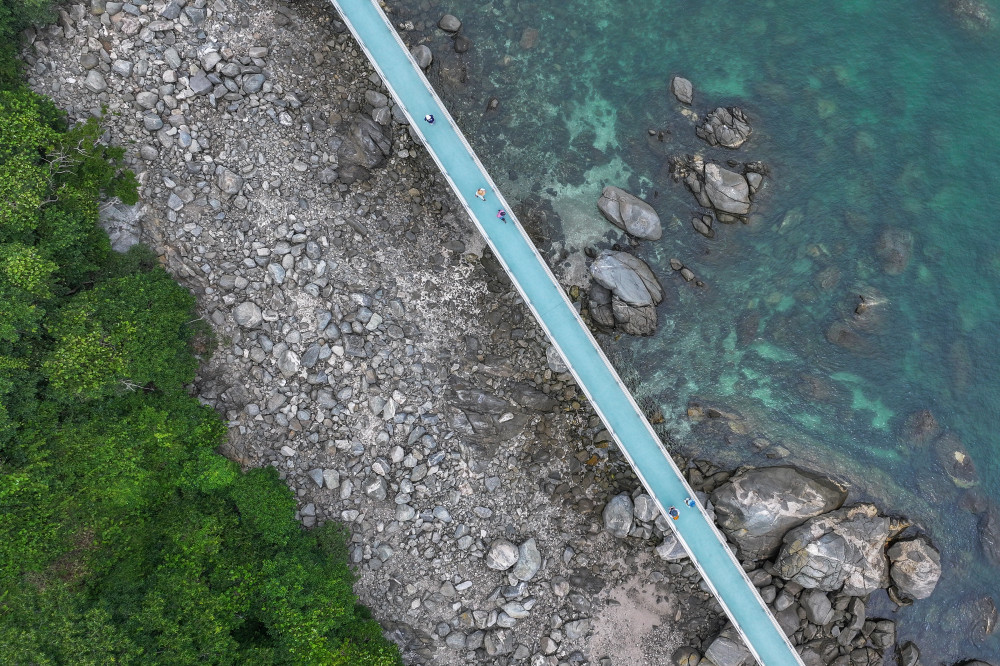
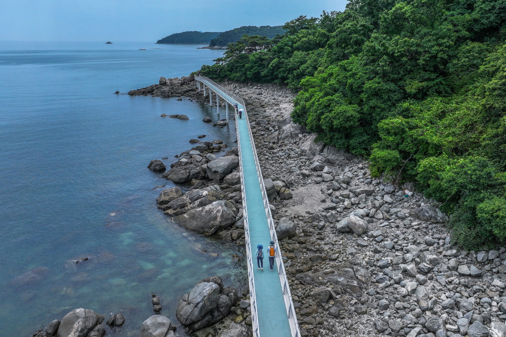
One major change has transformed the trail since my first visit more than a decade ago. In May 2024, the Dokkkeutburi Coastal Trail, a 457-meter-long and 2-meter-wide seaside boardwalk, officially opened.
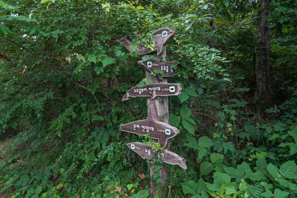
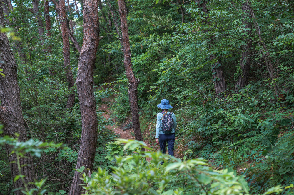
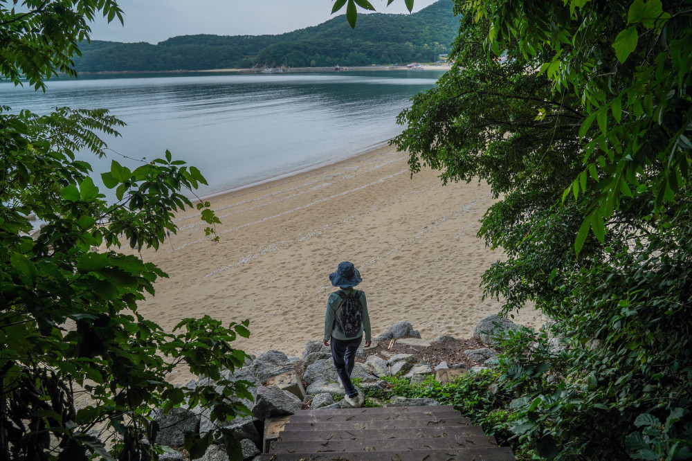
After crossing the boardwalk, which gives you the sensation of walking above the sea, you'll arrive at Dokkkeutburi, a rocky cape jutting out into the ocean. From there, the next 700 meters to the sandy beach in Jin-ri Village, home to Deokjeok Elementary, Middle, and High School, follows a peaceful forest path. The trail is pleasantly narrow, creating an intimate atmosphere. As you walk, the only sounds you'll hear are birdsong, the rustling breeze, and waves gently breaking along the shore. The trail is just over 1 kilometer long—almost too short, leaving you wishing it continued a little farther.
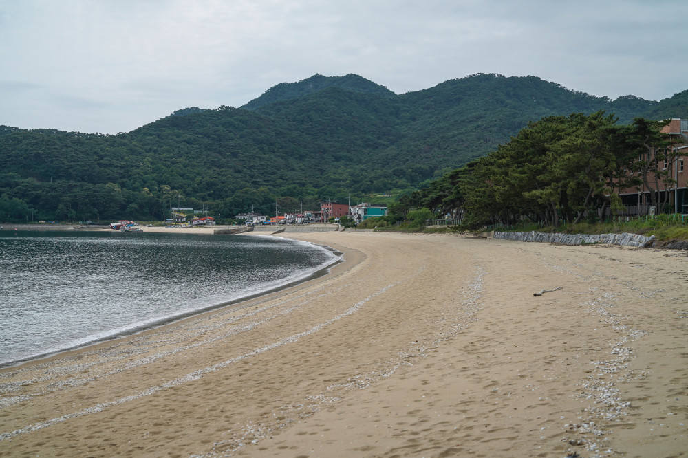
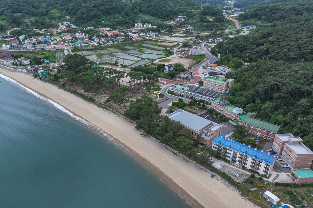
At the end of the trail lies the sandy beach of Jin-ri Village, adjacent to the local elementary, middle, and high school. In the past, visitors were allowed to enter the school grounds, but access is now restricted for safety reasons.
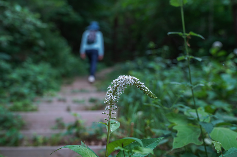
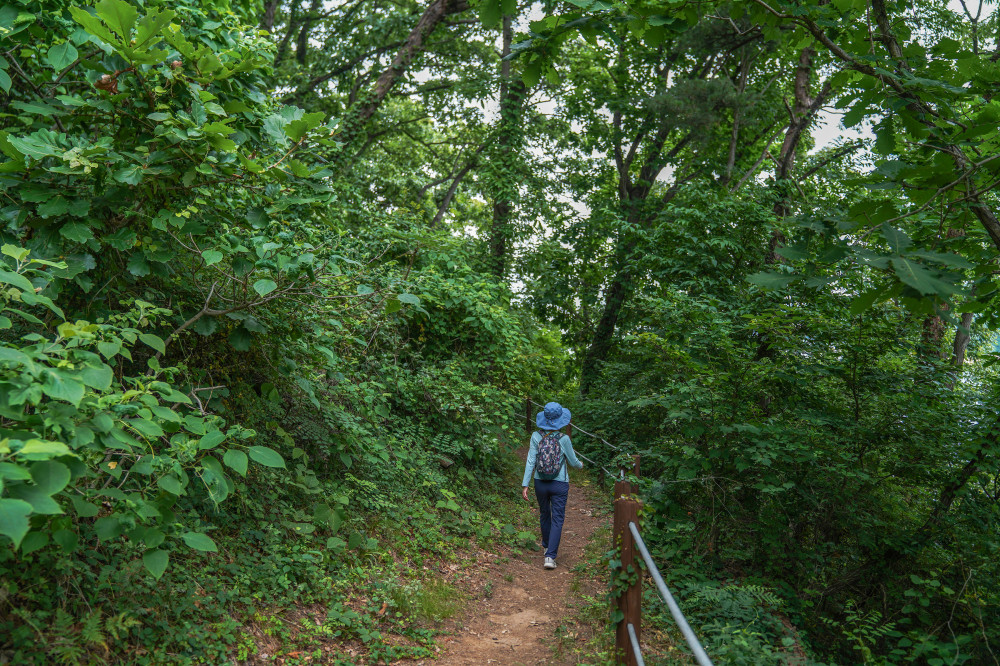
We then made our way back toward Dowoo Port. About half of the return route retraced our steps, while the other half followed the forest trail instead of the seaside boardwalk. Before the boardwalk was completed, this forest path was the only route available. Walking the slightly more than 2-kilometer round trip takes about one hour, making it an ideal way to spend time if you have a couple of hours before your ferry departs. In fact, the trail is so scenic that it's well worth setting aside time to explore, even if you're not waiting for a ferry.
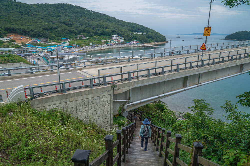
- Starting PointSailing Ship Observatory (31-21, Deokjeokbuk-ro, Deokjeok-myeon, Ongjin-gun, Incheon)
- End PointJin-ri Village Beach (San 64, Jin-ri, Deokjeok-myeon, Ongjin-gun, Incheon)
- Walking TimeApproximately 1 hour (round trip)
- 📍 Trail Length (one way)1.23 km
- #Incheon
- #IncheonTour
- #IncheonTravel
- #IncheonItinerary
- #TravelRecommendations
- #TravelWriter
- #IncheonIslands
- #IslandTravel
- #DeokjeokdoIsland
- #SoyadoIsland
- #GureopdoIsland
- #NeungdongPebbleBeach
- #BijobongPeak
- #BatjireumBeach
- #SeoporiBeach
- #SeonchonPort
- #DoukkeutCoastalWalkingTrail
- #SailingShipObservatory

-
- 29 Jeonggak-ro (1138 Guwol-dong), Namdong-gu, Incheon 21554, Korea
- TEL : +82-32-120 / FAX : +82-440-3009
Copyright 2020(c) Incheon Metropolitan City.
All right reserved. -
General Tourism Inquiries
1330 / 032-832-3031 -
ITOUR SNS


